


7 Ways Navigator

وصف لـ7 Ways Navigator
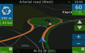
Navigation application "7 Ways"
Supports GPS and GLONASS
Have you ever used a navigation which is clear and accessible?
Then this software is for you!
"We made this application for ourselves and we are ready to share it with you!"
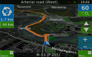
Supports offline maps from OpenStreetMap (offline OSM maps)!
- Offline maps (just download it one time, and when update)
- Search by address and name
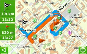
- Selecting the best route
- The nice voice prompts
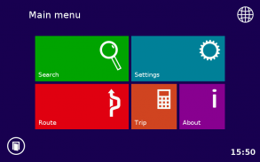
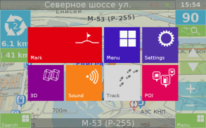
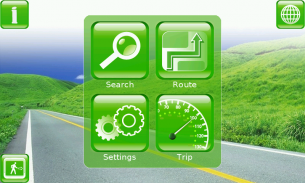
- The comfortable ergonomic interface
- Improved algorithms for drawing maps and objects
- The fastest route search
- Ability to create your own maps!
- HUD mode
- You may save routes
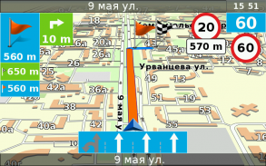
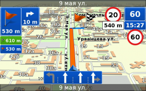
- Supports road lanes
- Huge choice of custom skins, voices, languages, maps etc
You may customize our software as you wish with addons. They ready to download from program at any time.
Route for more than 10000 km is not hard work for our application - just set maps!
Are you ready -
...look beyond the horizon... ?
تطبيق الملاحة "7 طرق"
يدعم GPS وغلوناس
هل تستخدم أي وقت مضى الملاحة التي هي واضحة ويمكن الوصول إليها؟
ثم هذا البرنامج هو لك!
"قدمنا هذا الطلب لأنفسنا ونحن مستعدون للمشاركة معك!"
يدعم حاليا الخرائط من خريطة الشارع المفتوح (حاليا خرائط OSM)!
- الخرائط دون اتصال (فقط تحميل البرنامج مرة واحدة، وعندما تحديث)
- بحث حسب العنوان واسم
- اختيار أفضل مسار
- والصوتية طيبة
- واجهة مريحة مريحة
- تحسين خوارزميات لرسم الخرائط والأجسام
- أسرع البحث الطريق
- القدرة على خلق الخرائط الخاصة بك!
- وضع هود
- يمكنك حفظ الطرق
- يدعم حارات الطريق
- اختيار ضخمة من العرف الجلود، والأصوات، واللغات، والخرائط الخ
تستطيع تخصيص برنامجنا كما يحلو لك مع أدونس. أنها جاهزة للتحميل من البرنامج في أي وقت.
الطريق لأكثر من 10000 كم ليس العمل الشاق لطلبنا - مجرد خرائط مجموعة!
هل أنت مستعد -
... نظرة وراء الأفق ...؟


